Selected work

ZeroHungerAI — World Bank DIME
Led geospatial data infrastructure and explainable ML workflows for food insecurity forecasting across 82 countries, turning climate, satellite, soil, and risk signals into subnational features.
UNOPS Remote-Sensing Insight Dashboard
Built for UNOPS, a Next.js + FastAPI platform visualising ~9,000 projects across SDG alignment, funding, regions, and tool usage. LLM with few-shot prompting handles document analysis and keyword extraction on BigQuery.
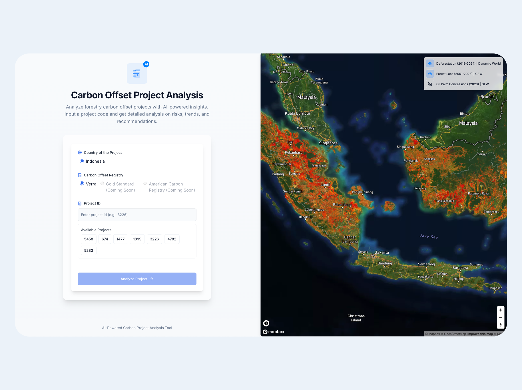
Carbon Offset Validator
Full-stack tool for analysing forestry carbon projects. Visualises risk metrics, land-use and deforestation trends, geospatial boundaries, and AI-generated insights.
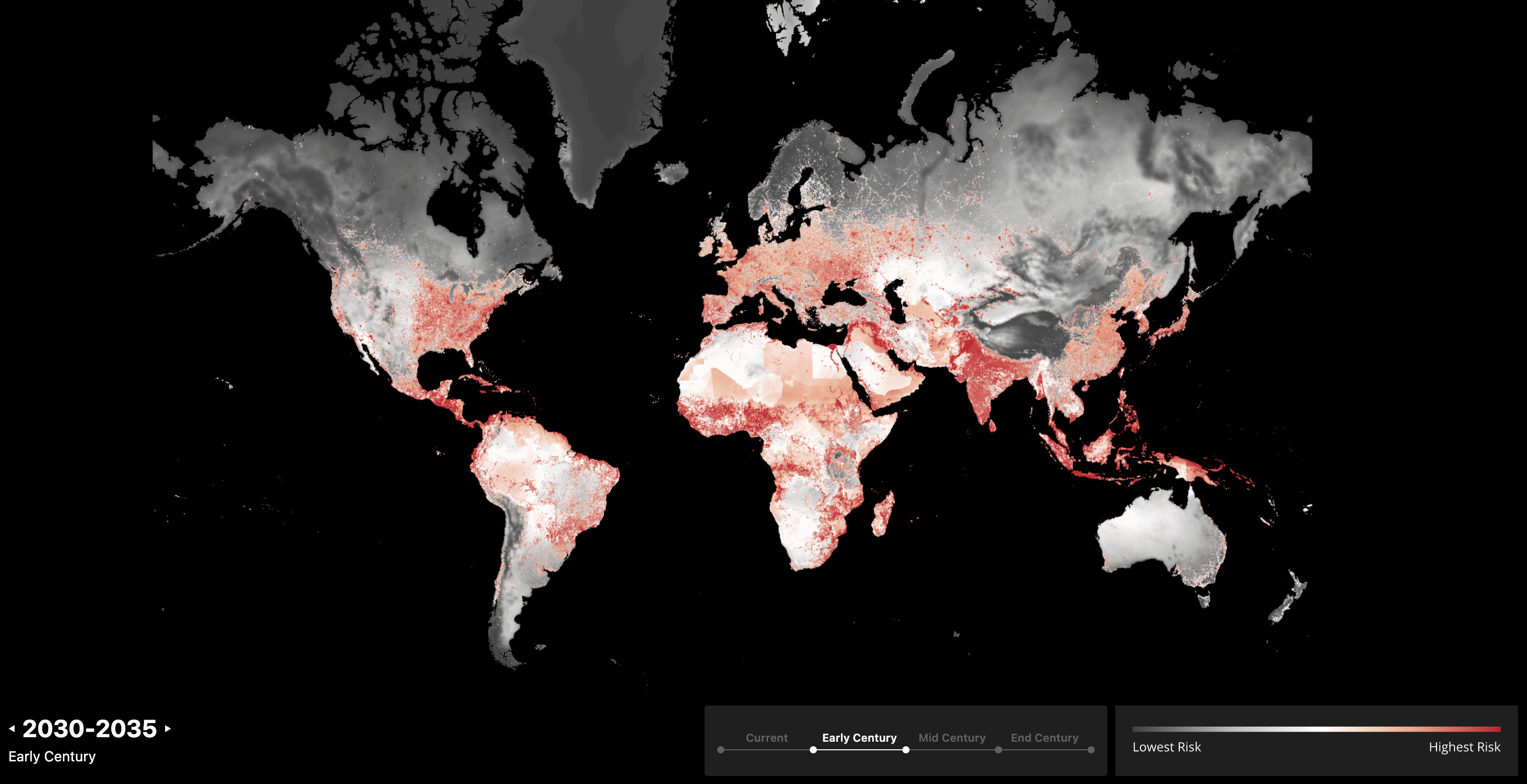
Global Climate & Socio-Economic Resilience Risk
At AlphaGeo, curated 12+ global datasets on climate risks and socio-economic conditions, built 1 km-resolution datasets and ETL pipelines, co-developed the resilience-adjusted risk score methodology.
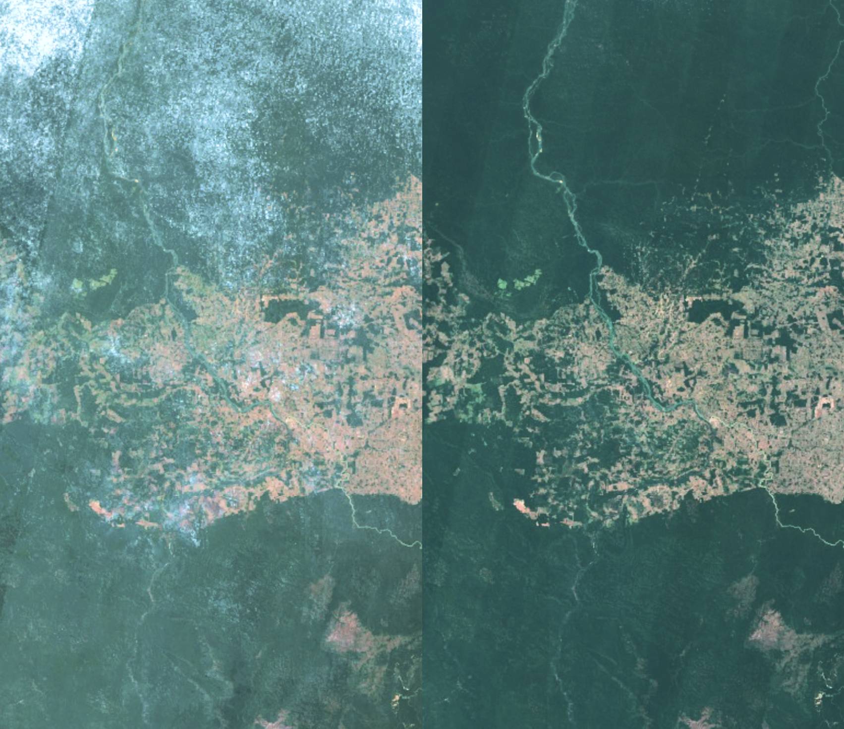
Seeing Through Clouds — SatML Robustness
Strategic masking simulates cloud covers to fine-tune a pretrained satellite ML model for land cover classification, improving robustness under real-world observation gaps.
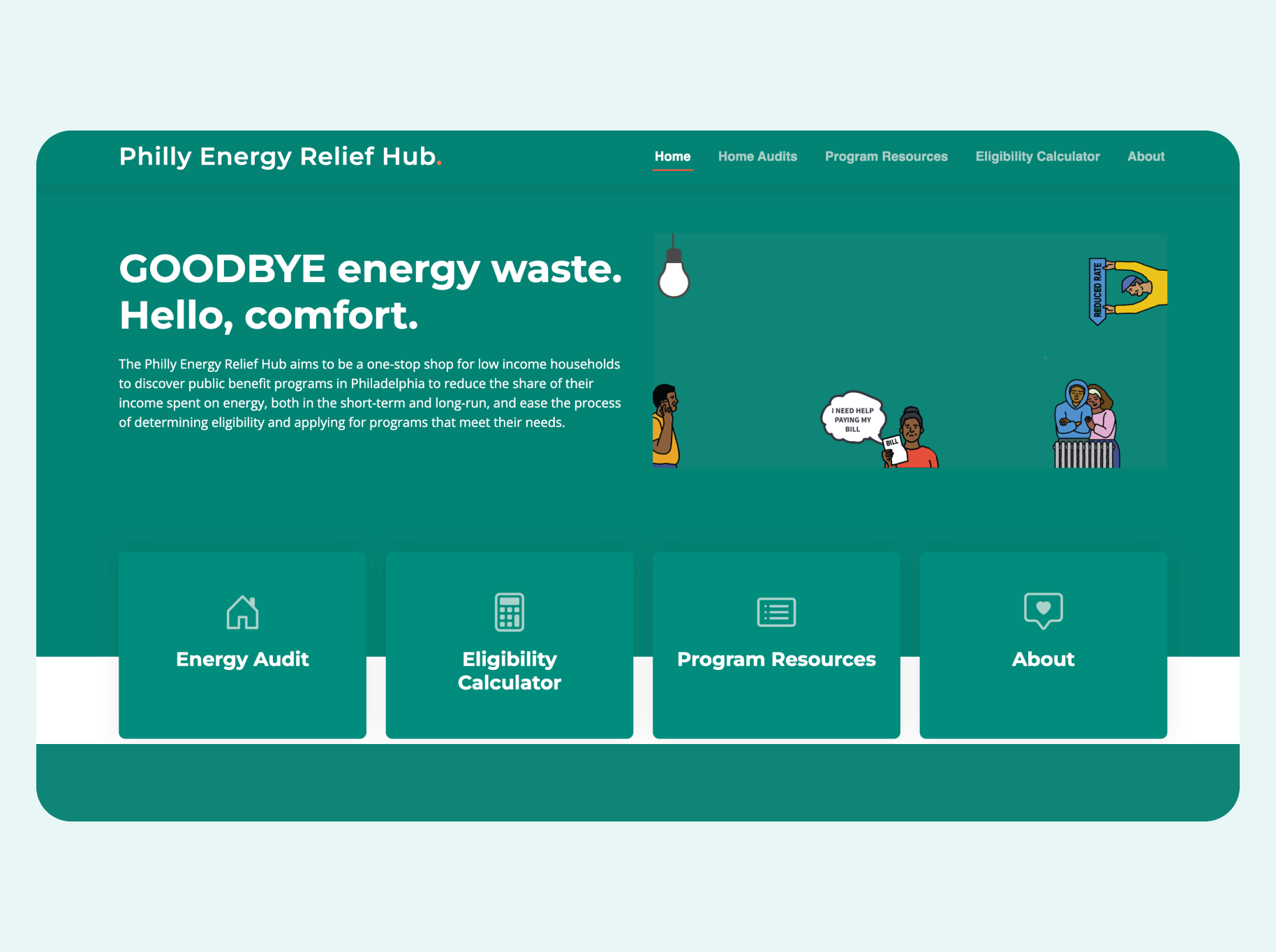
Philly Energy Relief Hub
A one-stop platform for low-income Philadelphia households to discover public benefit programmes, check eligibility, and apply for energy assistance.